Sunday, September 29, 2013

Sailing Alaska in a 27 ft boat. On to Hydaburg and Craig.

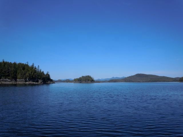
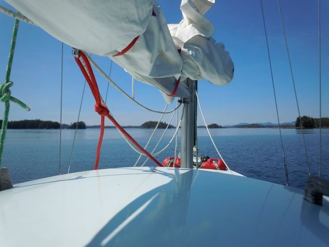
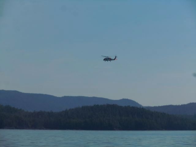
The next day we head off to Hydaburg. The weather continued to be amazing.  photo DSCN9232_zpsec2b4707.jpg  photo Lowerpow_zpse5b7f48c.jpg We started to see more signs of civilization as we got closer to Hydaburg. This is a Coast Guard helicopter, they must have been practicing as they buzzed a couple of fishing boats and flew off.  photo DSCN9238_zps790c1746.jpg
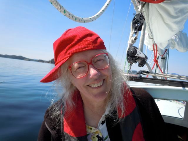
Viviann at the helm, one of the few pictures I’ve taken. Viviann should get the credit for the bulk of the pictures in these posts.
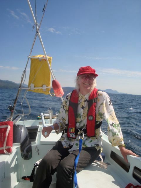
 photo DSC06909_zpsd00a539e.jpg As we approach the town there is a long spit running off from the beach that I nearly went aground on. I am sure I was the entertainment that day. After tying up at the decrepit dock we walked the town. They are building a fancy new set of docks that are supposed to be finished this summer.  photo DSCN9249_zpscb87b1f2.jpg Hydaburg is another small native village. And another hot, not Alaskan like day, it was in the eighties as it had been for the last few days. There were hand letter signs stapled to telephone poles every few hundred feet that said, “popsickls for sale at Cassie’s nanna’s house.” Obviously if you had to ask where Cassie’s nanna’s house was, you weren’t from around there.
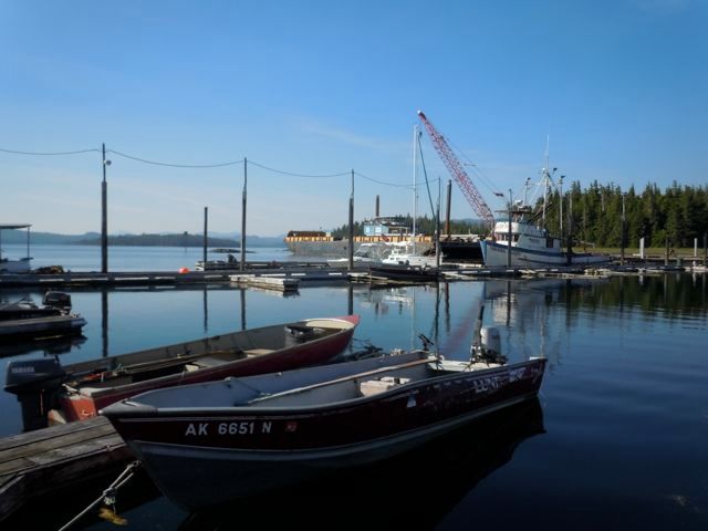
We went to the little store and the first thing the storekeeper asked was were we from the little sailboat? Like I said we were the entertainment. We wanted to buy popsicles but we were told that the barge only comes once a week and they were sold out. The fellow at the store told us where Cassie’s nanna lived but he thought they might be sold out too. Luckily he remembered that he had a couple ice cream sandwiches left so we lucked out. At the fish dock the local kids were enjoying the hot weather.
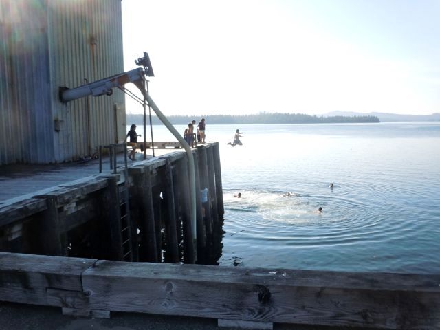
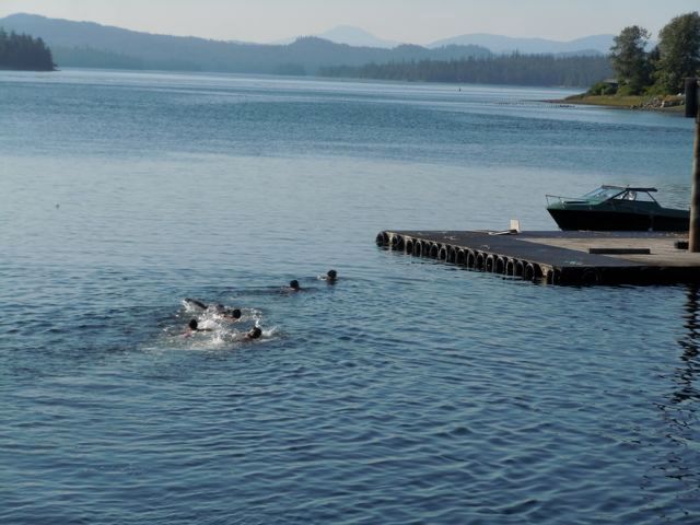
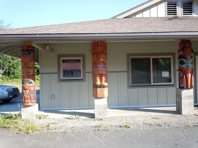
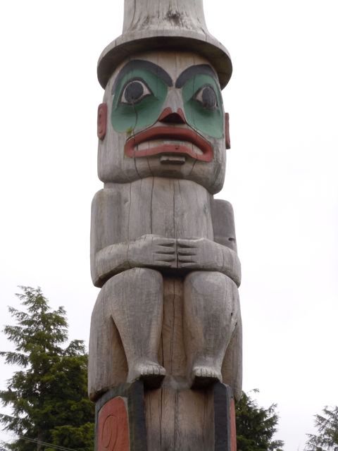
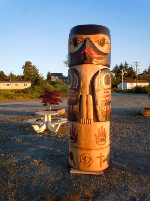
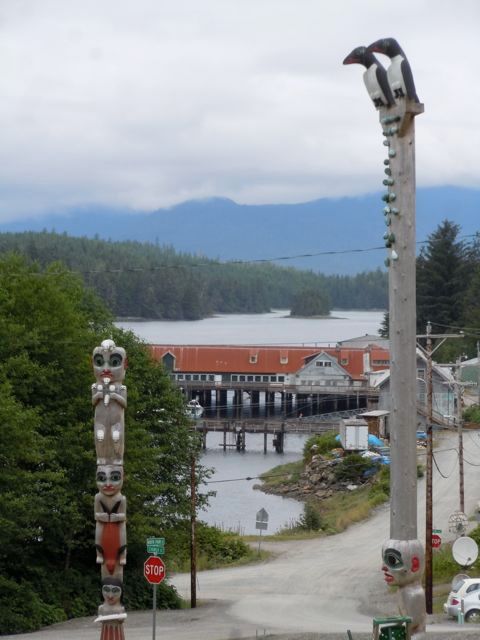
 photo DSCN9256_zps5f2c7cfe.jpg  photo DSCN9259_zpse409aa34.jpg Hydaburg has a large totem park where they have been replacing the reproductions of the originals.  photo DSCN9290_zpsd42a0125.jpg This fellow was rebuilding the base for a sacred sea otter statue. Like Metakatla, Hydaburg has an unfortunate past. Apparently early in the 1900’s three local native villages were convinced to abandon their well established and functioning villages and consolidate at an entirely new site on unbroken wilderness at the present site of Hydaburg. They were promised schools, a hospital and so on. They are still waiting for the hospital. We were told this story by the son of the first child born at the new site, in a tent in the middle of winter. When they were moving the village there were two of these ancient sea otter statues and one of them was dropped off the ship into the harbor. It is stlll there.  photo DSCN9268_zps60080f68.jpg Another post office  photo DSCN9260_zps70b1d006.jpg Besides science I also teach woodshop. This spring a new student arrived with his father. Talking to them I learned they were from Hydaburg. I jokingly said that we were going to SE Alaska and we would look them up.
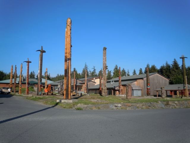
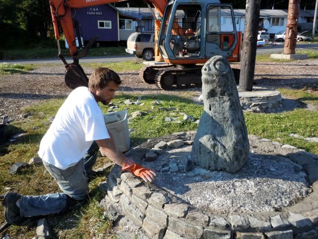
Well here we were in Hydaburg after all and Viviann convinced me that I really should try to drop in. I thought it a little unusual but she asked where my student lived and of course everyone knew. So we knocked on the door the next morning and reintroduced ourselves. The father was surprised to see us and invited us in for coffee. He told us the son was still asleep and we had a nice chat learning all about the goings on of Hydaburg.

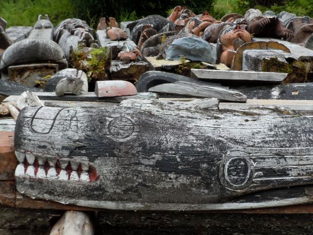
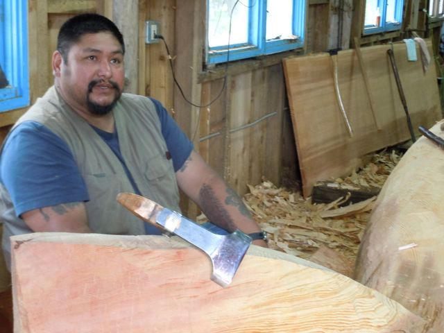
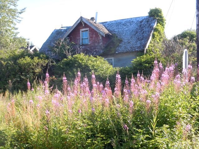
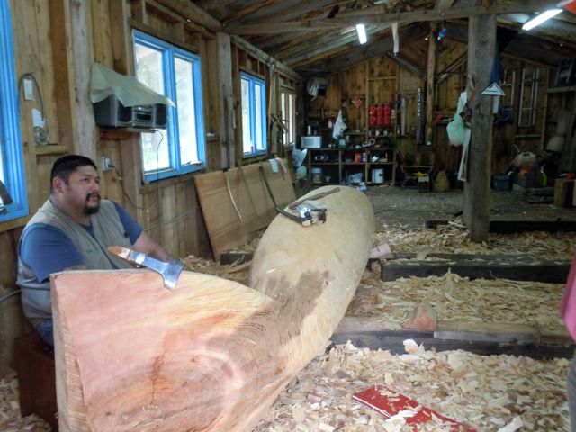
After a time the father insisted on waking the son up. I wish I had had a camera to get a shot of the kid’s face when he walked into the living room and sees his teacher sitting there. It was complete shock followed by a big grin. We had a nice visit and left to catch the tide with some local knowledge of how to avoid the sandbar.  photo DSCN9297_zps94585e99.jpg The next day we made it to Craig. We were met at the dock by a fellow from the port who helped us tie up. We got showers and went out for pizza with Viviann’s friend and her husband. The next day they loaned us their truck to see the sights and we drove to Klawock where we poked around where they were replacing all the totems from their park. The old ones were all laid out in a field, it was a pretty impressive sight.  photo DSCN9334_zps605dca9a.jpg  photo DSCN9345_zps629e1791.jpg We looked into the carving shed and the carver was happy to see us and invited us in. He is Ron Fairbanks and he teaches carving among other things to middle school students. Besides the whale carving, take a look at the cedar plank behind him. It is about 30 inches wide clear vertical grain and about fifteen feet long. You don’t run into wood like that very often.  photo DSCN9364_zpsf24e720d.jpg  photo DSCN9369_zpsbfa0a03b.jpg He is working on the last totem for the park.  photo DSCN9403_zpsb0715f03.jpg  photo DSCN9385_zps95908733.jpg
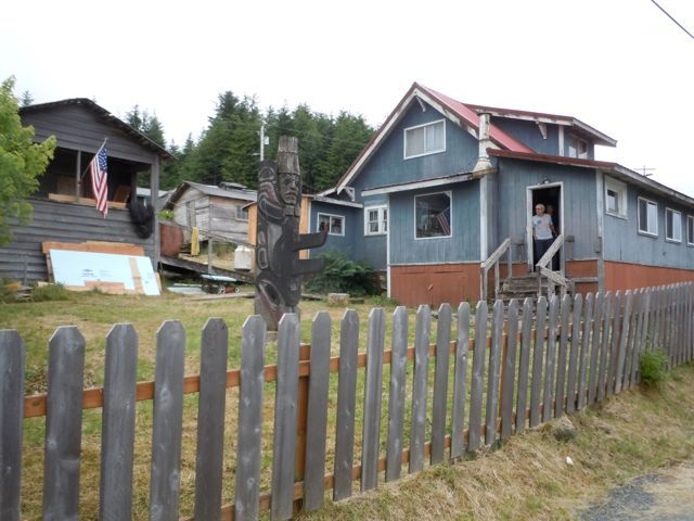
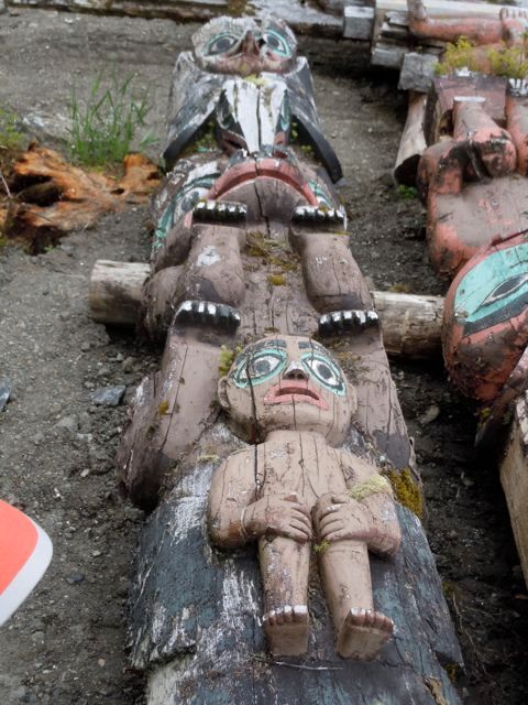
The next day we are about to take off and our batteries are too low to turn over the outboard. I had been babying them hoping that they would hold a charge. Obviously not, so I borrowed a dock cart and huffed it up to the local NAPA. The price wasn’t all that much more than at home so I replaced them both. An hour and a half later we were off.
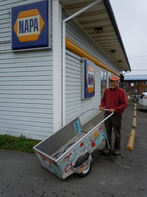
 photo DSCN9439_zpsfecf0d11.jpg

Wednesday, September 25, 2013

A Tiny Cork on a Lonely Coast. Ketchikan to Hydaburg


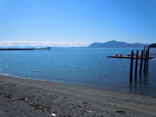
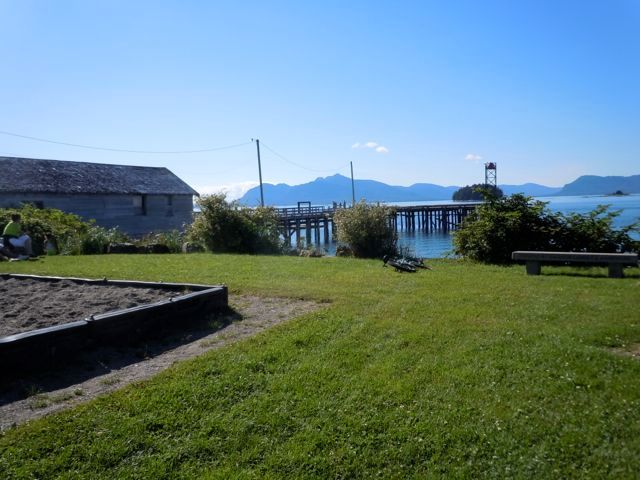
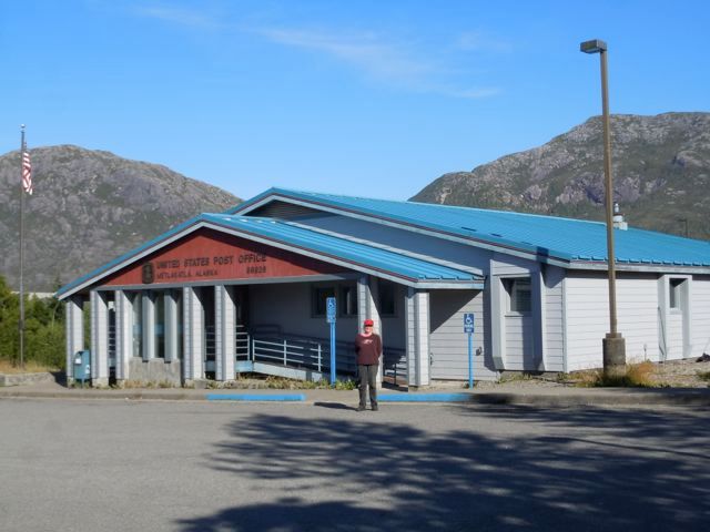
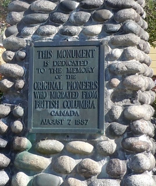
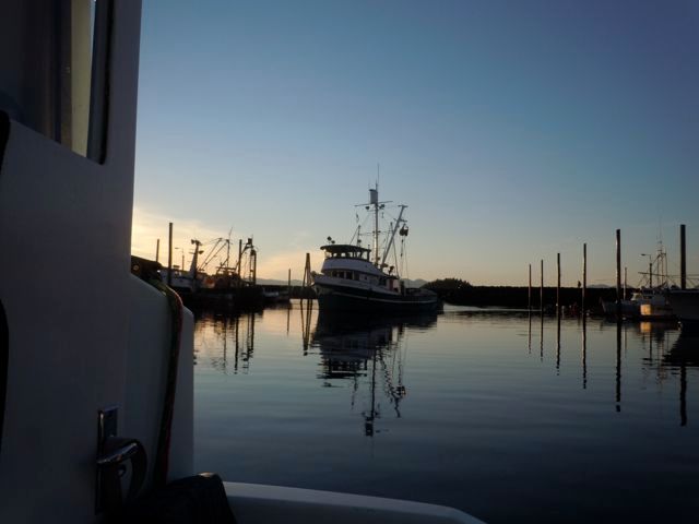
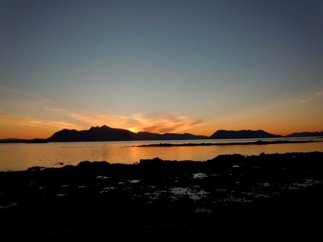
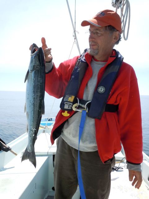
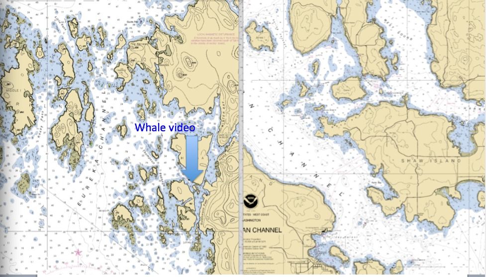
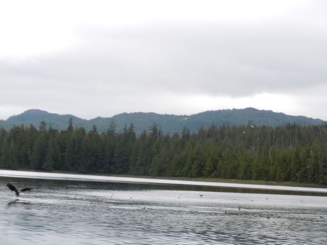
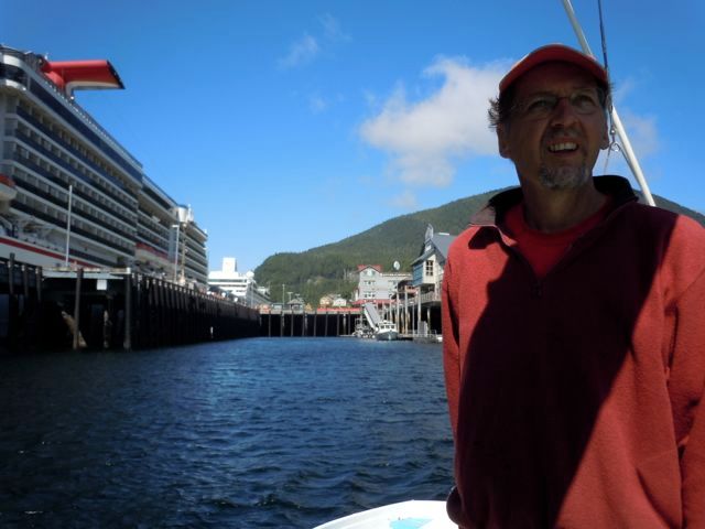
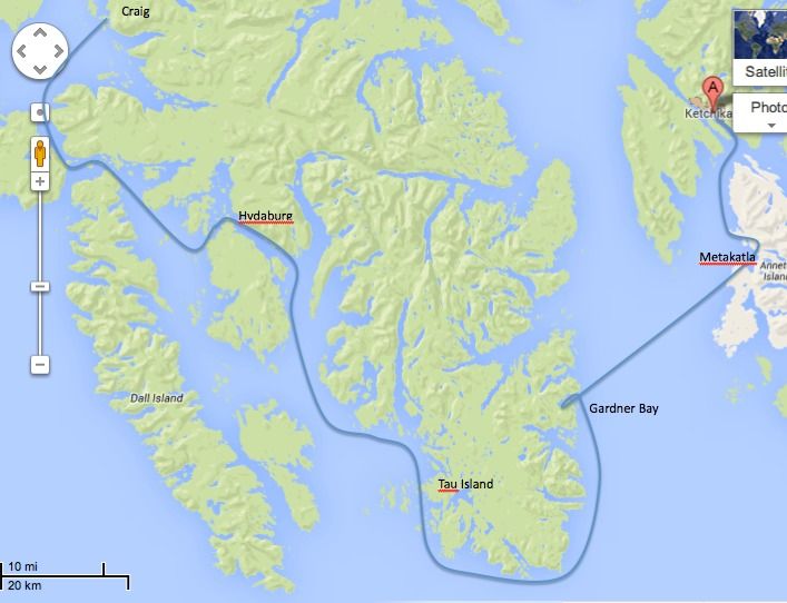
We headed out from Ketchikan heading north in the now blazing sun. Once we cleared the cruise ships that act like a breakwater we discovered that the wind was coming from the north so we decided to go south. This was with the goal of circumnavigating Prince of Wales (POW) Island. We had originally planned this for the last part of our trip. But hey no schedule, no worries. We were able to run downwind a few miles before the wind died. I tried fishing with no luck and we headed for Metakatla, a native village on Annette Island. This is an overall view of the trip once we were on the water. We went clockwise from Ketchikan.  photo Alaskaroute_zps95780310.jpg This is a bit more detailed view of the route around south part of POW Island showing most of our stops along the way.  photo Lowerpow_zpse5b7f48c.jpg  photo DSCN9084_zps8a325713.jpg  photo DSCN9085_zps65c0e739.jpg There were lots of folks hanging out on the beach in the sun. We sat in this park and talked to a fellow who told us that he remembered last summer, and on that day everyone went to the beach too. Pretty funny guy. We tried to buy ourselves ice cream bars and they only had whole boxes at the store. So we bought a box of 8, ate two and my wife handed out the extras to the locals who were overwhelmingly pleased. Unfortunately she only had one left when we ran into a group of teenagers who were swimming. Only one of them was lucky but the others were very gracious and polite about it. Nice place  photo DSCN9089_zps55f3df88.jpg My wife loves to send post cards so a visit to the local post office is always a must see. Metakatla’s history is interesting. We were told was that the original residents came from Metakatla BC, near Prince Rupert, to avoid religious persecution. Around the turn of the century the town was created when Father William Duncan petitioned the US government for land. They had apparently looked as far south as Chile. There is another Metakatla in BC east of Vancouver Island that is completely abandoned. We went there about 20 years ago and there were still the remains of long houses and totem poles on the ground. I don’t know how that Metakatla fits into this story or if it does.  photo DSCN9086_zps54826c1b.jpg Some of the original homes.  photo DSCN9093_zps2ff040ea.jpg A shot of the boat harbor. Every town in SE has a boat harbor. We tried raising the harbormaster on the VHF and there was no reply so we spent the night for free. No one takes this sort of thing too seriously.  photo DSCN9096_zps869c304c.jpg There are lots of beautiful totems throughout SE.  photo DSCN9099_zps7e52d94a.jpg Alaskan sunset. Everyone told us all summer that the weather is never this nice. Though on all three trips we have taken we have had beautiful weather for the most part. I think the locals say that so that they aren’t overrun by lower 48‘ers. We did get some rain and fog but nothing like some of the summers we heard about.  photo DSCN9111_zps5b9594a4.jpg The next day we take off again in brilliant sunshine and head across Clarence Strait to go around the south end of POW island. Viviann trying her best to make sure she has boat “cred.”  photo DSCN9236_zps8a95e381.jpg We covered about 25 miles and anchored all alone in Gardner Bay.  photo DSCN9157_zps45c8e96c.jpg For the next two and a half days we saw a total of two fishing boats and two sailboats. And when I say “we saw” I mean that literally, as through binoculars. They were several miles away. This is the most isolated place I have been to by boat.  photo DSCN9191_zpsb966fde4.jpg The next day I tried fishing and caught this nice pink. When they are fresh they are delicious, they remind me more of a trout than a salmon. We called this our $150.00 fish as that is the price of an annual fishing license. After that all the fish we caught were free. We then navigated through a tangle of islands that makes most places look like the open ocean. In this chart I pasted a 5 mile X 5 mile section of the San Juans to compare it to a 5 mile X 5 mile section of a whole bunch of un-named islands at the south end of POW. Where the arrow points is where I took the whale video.  photo Whalevideo_zpsdc9a92d7.jpg  photo TauIsland_zps71b538f0.jpg After feeling our way through a 50 foot wide pass that was filled with a tangle of kelp we stopped and ate lunch held in place by the kelp. A humpback whale arrived shortly and spent about half an hour flapping around on the other side of the kelp bed. It seemed like it was using the kelp as a scrub brush. This links to where I posted it on Facebook. Click Here For the Video We stayed that night at Tau Island in a stunning protected cove. Suffice it to say we were the only ones around. The lower end of POW is a protected wilderness area so there is no development, not even a lonely cabin. We came across this scene, the picture doesn’t capture it really. We counted 18 eagles going after herring and lots of gulls. We didn’t see any herring get caught. It is hard work to be a predator.  photo DSCN9305_zps7eb5a374.jpg We are now on to Hydaberg.

Monday, September 23, 2013

North to Alaska. Trailer Sailing the Inside Passage.

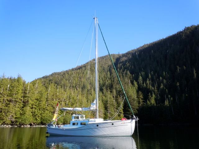
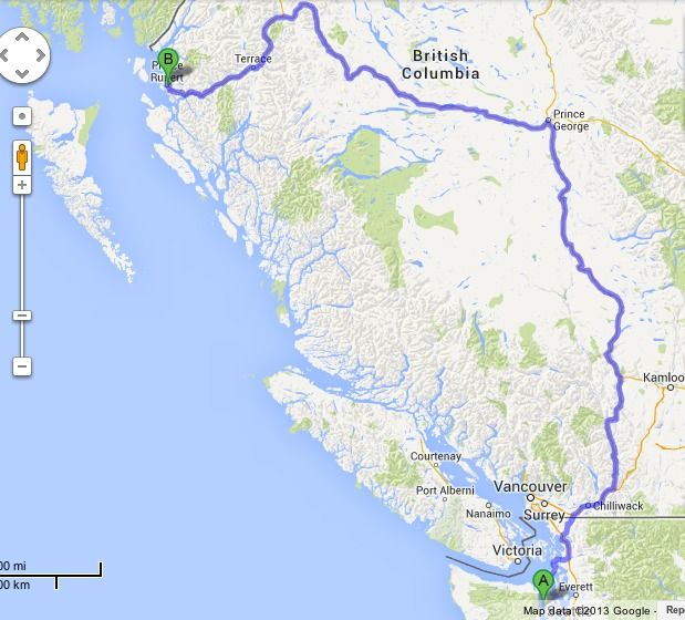
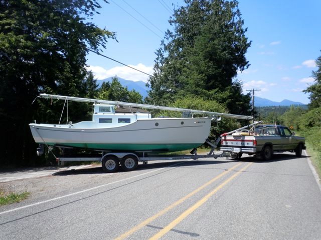
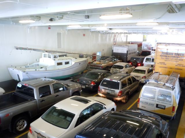
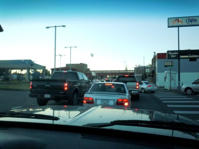
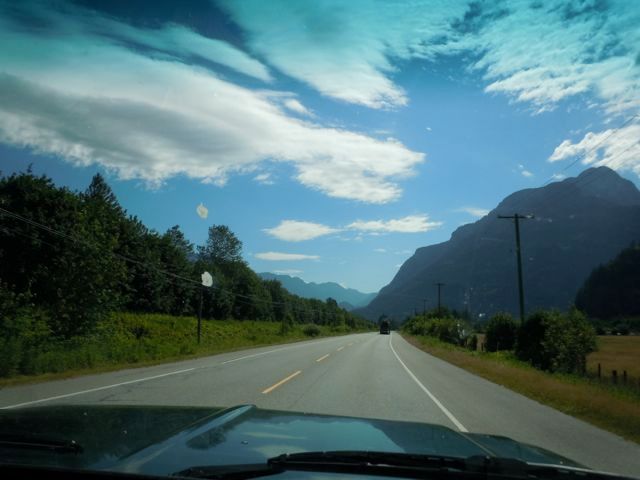
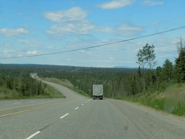
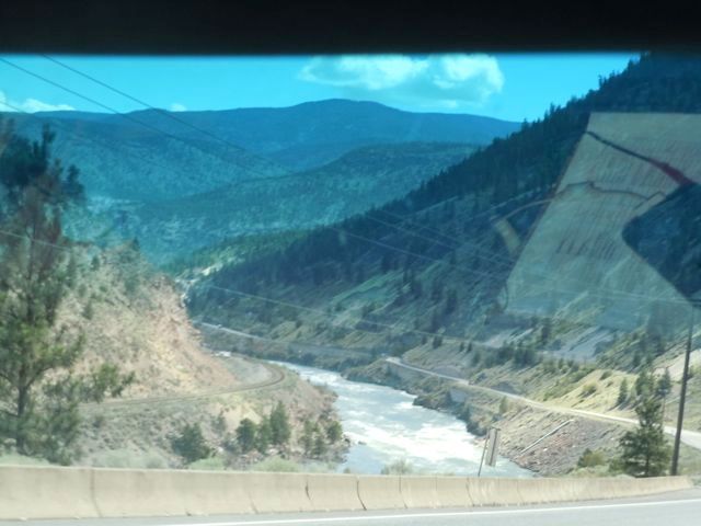
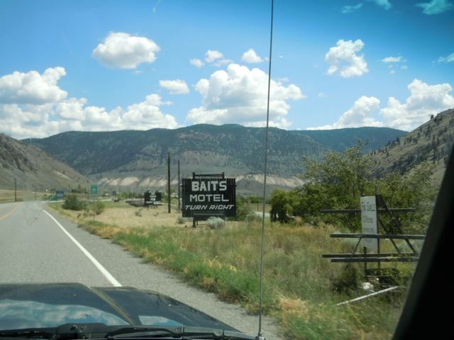
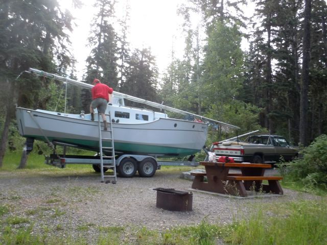
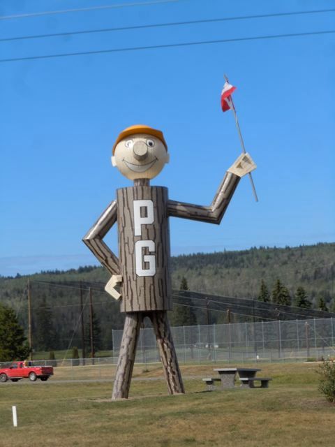
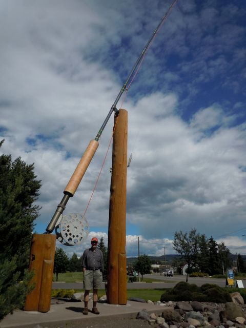
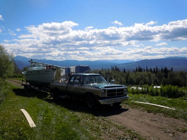
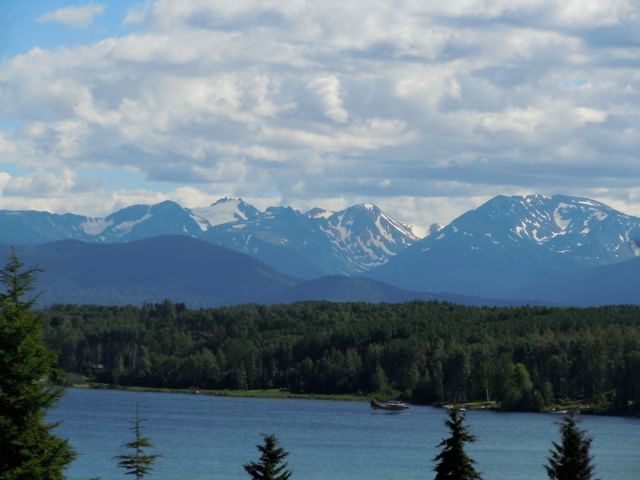
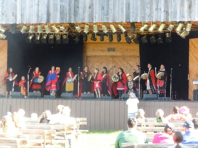
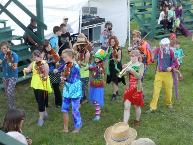
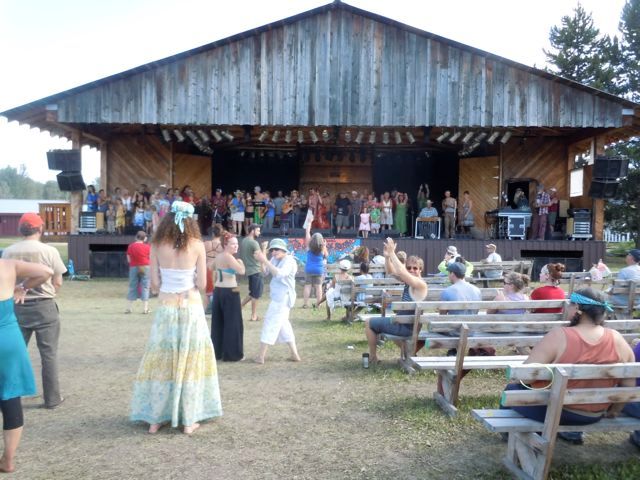
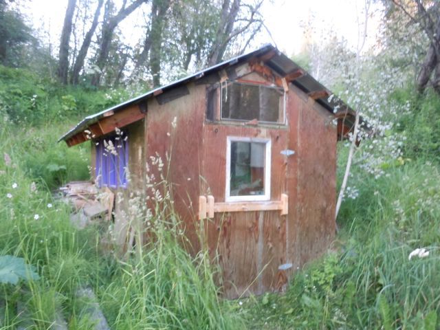
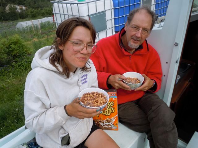
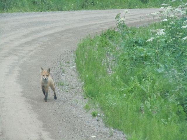
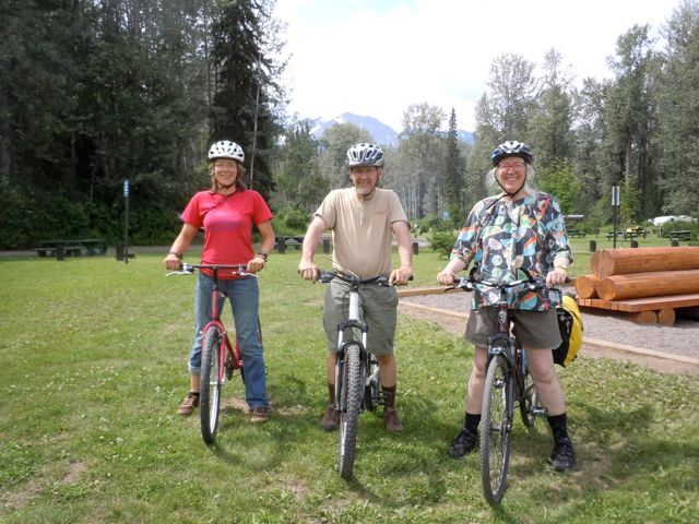
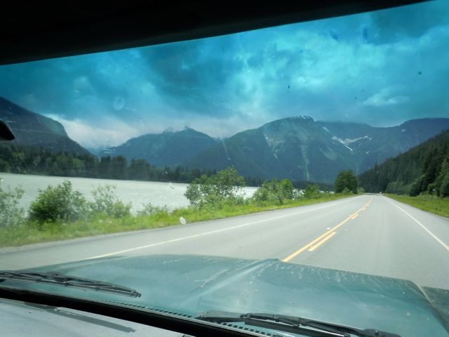
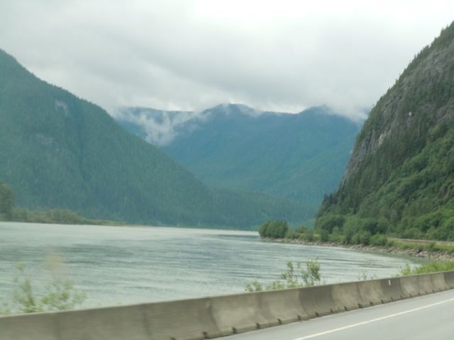
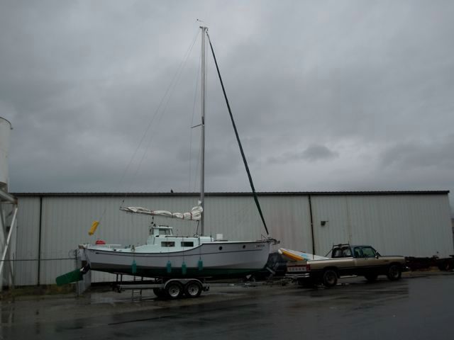
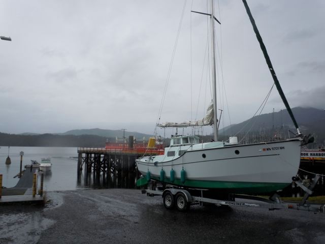
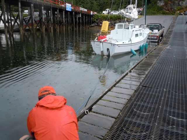
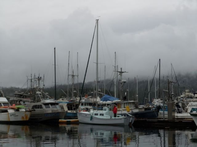
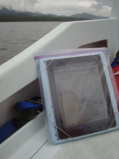
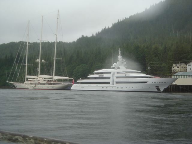
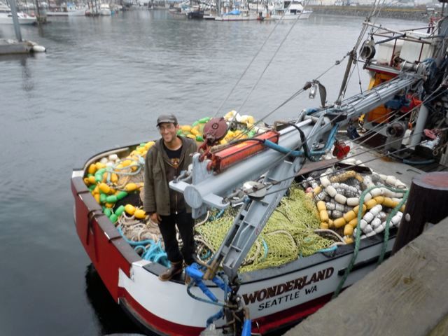
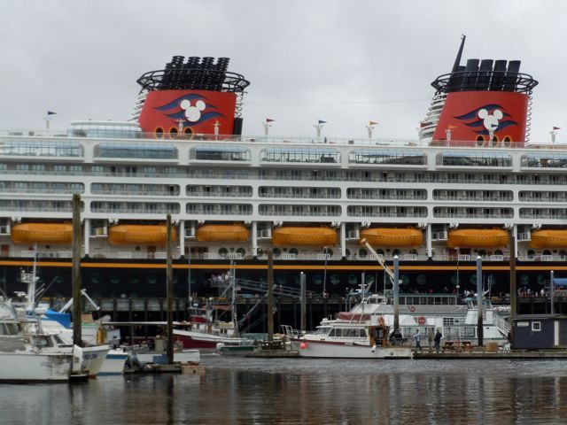
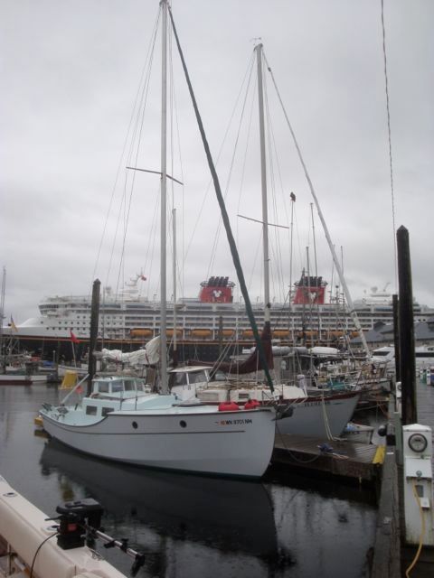
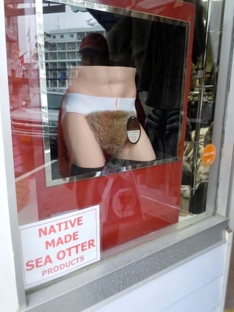
I am doing this travelog on the installment plan. I had great hopes of writing blogs over the summer while we were sailing. But I didn’t. I’ll try to blame it on the electronics, we had trouble keeping the computer charged, but really I needed to recharge myself even more. And downloading pictures, organizing them and writing frankly didn’t stir me. So now with the rains of fall coming and sitting in my Lazyboy I figure it is about time. My wife Viviann and I took our third trip to Alaska on Red the 27 foot trailer sailer I designed and built. We ended up spending about five weeks and going about 900 miles on the water. We live in Quilcene WA and trailer the boat to Prince Rupert BC. Ketchikan Alaska is ninety miles north of there and is where most folks go through customs. Viviann deserves credit for almost all the pictures.  photo Tripmap_zps467fc79f.jpg Getting out of the driveway onto the road is a major accomplishment.  photo DSCN8392_zpsac33b1ff.jpg Here we are on the Edmonds-Kingston ferry. It's the 3rd of July and I snuck in under the fifty foot mark. Actually I had measured and I was about 6" over. Sometime you need to stick it to the man.  photo DSCN8412_zps5dbf9ad8.jpg After taking an hour and a half to go about 25 miles, it is the day before the 4th of July after all, it was pretty smooth driving up to the Canadian border at Sumas. We did make a quick stop in Bellingham at West Marine to buy a replacement solar vent. Unfortunately I couldn’t figure out how to install it until I brought it back after the trip, so we weren’t as well ventilated as I might have liked. Oh well something had to go wrong.  photo DSCN8416_zpscca37e43.jpg I’m including a few pictures of the highway to encourage anyone to do this trip. It is worth the drive especially since the route is beautiful and the roads are in good shape with shoulders and passing lanes every ten miles or so.  photo DSCN8421_zps5afe02d0.jpg  photo DSCN8521_zps172cf63a.jpg This is the hairiest part of the trip going up the Fraser River. It is pretty steep with pullouts for trucks to check their brakes.  photo DSCN8444_zps3c70ab92.jpg That wacky Canadian sense of humor.  photo DSCN8460_zpsbf80b640.jpg Our second night at Ten Mile Lake Provincial park near Quesnel BC which is about 375 miles north of the border. We are always the center of attention among all the campers and travel trailers.  photo DSCN8560_zpsd1caf6b9.jpg The next day we drive on through Prince George with the cheapest diesel in the Canadian part of the trip at about $4.75 a gallon.  photo DSCN8566_zps6e02b6b9.jpg Then onto Houston with the world’s larges fly rod.  photo DSCN8609_zps55e6012d.jpg After about 800 miles we pull into the driveway of the organic farm where our daughter Lilly is spending the summer near Smithers BC.  photo DSCN8622_zps8b793fea.jpg Nice view from the front yard.  photo DSCN8625_zpsa72bae67.jpg It turned out it was the 30th annual Smithers’ Music Festival that weekend so we relaxed and spent the weekend hanging out with our daughter and listening to music and taking in the scene. These were a group of native dancers.  photo DSCN8628_zpse006887c.jpg Local color  photo DSCN8645_zpsc36004aa.jpg  photo DSCN8714_zps6592a7e8.jpg My daughter’s cabin. Small but cute.  photo DSCN8726_zpsb176121c.jpg My daughter and I share birthdays. The best present I ever got. Here we are enjoying the birthday girl’s favorite birthday cereal. Reese’s Pieces or some such thing.  photo DSCN8746_zps889a4744.jpg Wildlife near Smithers.  photo DSCN8780_zps89cddb6d.jpg Then Lilly gave us a bicycle tour of beautiful Smithers.  photo DSCN8752_zps5dae02ad.jpg Back on the highway down the Skeena River to Prince Rupert.  photo DSCN8959_zps13067b25.jpg  photo DSCN8965_zpsabf75ec4.jpg  photo DSC06888_zps3da4c27e.jpg After a week of hot weather the cool damp coast of Prince Rupert was a nice place to rig the boat.  photo DSCN8980_zps0964ce4b.jpg On the other two trips up I had used the Travel-lift to put in and take out. It was always quite a bit more expensive than at home but I didn’t know if I could launch and retrieve the boat off the trailer so I just bit the bullet and paid. But this time I called the boatyard and their minimum rate was $300 each way. Yikes. So I talked to a lot of folks at the boat ramp and decided to go for the gusto. It worked out fine, the boat slipped off though I had to tie it to the dock, pull the truck forward and then back further down again to get it off the trailer. Later to put it back on I lowered the rear part of the bunks and it was easy.  photo DSCN8988_zps377c70b6.jpg The ramp is steep, wide and paved. There was a fair amount of traffic as fishing was good but it worked out fine. Though when I came back down to the boat after parking the truck, a powerboat had tied up behind and they were a little miffed that a sailboat had tied up to the ramp dock. When I explained we had just launched it they were surprised and a little taken aback. Not a lot of sailboats up here period, let alone ones that launch from a trailer.  photo DSCN8993_zps54affa0c.jpg And now were are floating pretty. Like I said it is about ninety miles to Ketchikan the closest place to check into US customs. At five knots it is a two day trip so I called ahead and told them I would be anchoring along the way. They like that. On the first trip I didn’t know you were supposed to let them know and they would have been upset, except I had run aground on the way and hurt my arm pretty badly. It was swollen up and looked like it was possibly broken, so while the harbormaster waited to drive me to the emergency room, the customs guys weren’t too concerned with a lack of a phone call. I wouldn’t recommend hurting yourself as a way to avoid scrutiny however. Just make the call.  photo DSCN9001_zpsac862227.jpg Most cruising on the Inside Passage is fairly protected except for crossing Dixon Entrance which is between Prince Rupert and Ketchikan. It is a stretch of water 40 miles wide that is fully open to the Pacific. It can be terrifyingly rough. My brother fished commercially for many years in Alaska and told me crossing Dixon Entrance during a storm was the only time on a boat that he ever thought he was going to die. So we pick our weather carefully. This time we were able to go across the day after we put in the water. On the trip before we waited almost a week in Prince Rupert for the weather to clear. You just never know but I would rather wait that not. This picture was typical of the weather this time.  photo DSCN9015_zps251a5f18.jpg Here is the latest in iPad accessories. I was running out time and had to make my own floatable “waterproof” case. I used INavX on it and it worked great. I did replace the Ziplock every once in a while.  photo DSC06896_zps1d188692.jpg Here are a couple of little cruisers we ran into coming into Ketchikan. I couldn’t come any closer or their helicopters would strafe me.  photo DSC06898_zps17b87a78.jpg We met up with my nephew Jake on a purse seiner in Thomas Basin which is where we like to moor. It is 58 foot wooden limit seiner. By the end of the season it turns out they had caught over a million pounds of salmon. It was a good year.  photo DSCN9028_zps78d7b001.jpg Then one of the cruise ships came in. This is Disney’s one and it played the theme from the Magic Kingdom on its horn. How is that for corporate branding? If you look close you can see my nephew’s seiner tied up to the dock below it. It looks only slightly bigger than the lifeboats.  photo DSCN9031_zpsa3f2c53b.jpg  photo DSC06900_zps63e2f41f.jpg Then a little shopping in Ketchikan  photo DSCN9019_zps6545458c.jpg Then some real shopping, showers at the swimming pool, the sun comes out and we are off.  photo DSCN9055_zpsafa8deca.jpg We head south from Ketchikan to circumnavigate Prince of Wales Island.